Woodpecker Cave Archaeological Field School LiDAR Data
Ian Dunshee and Dominic McCaffrey
Woodpecker Cave
View of plain excavation pit
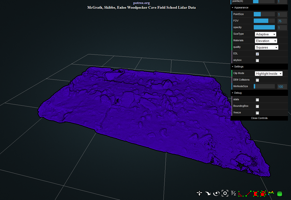
Potree Tools
Snapshot
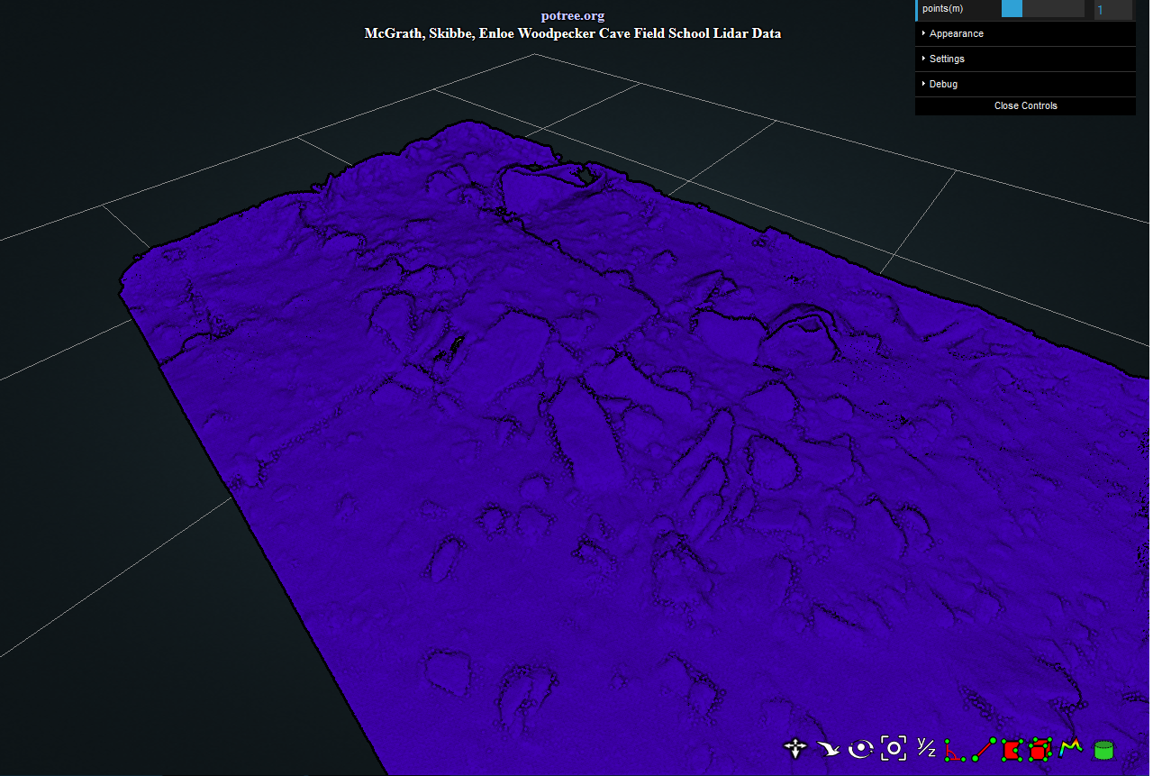
Top View
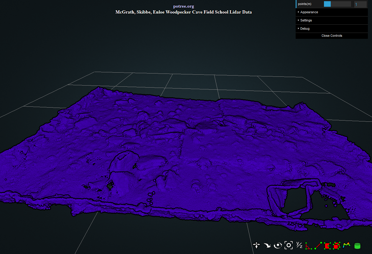
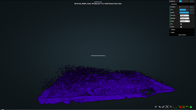
View of the Site from above
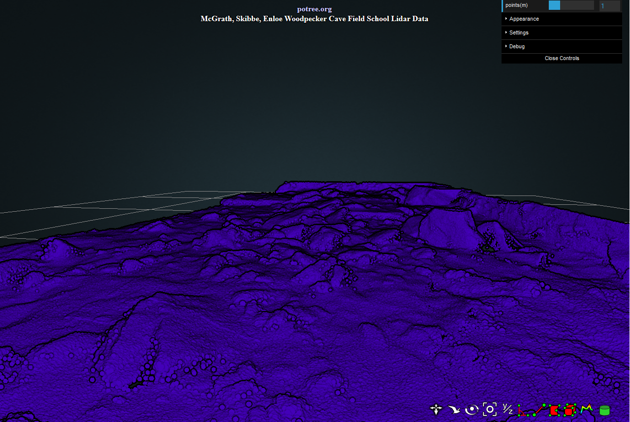
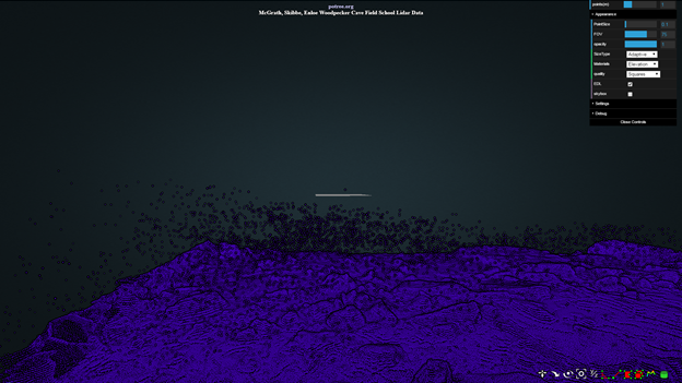
Ground View
An up close and personal view.
Ground View with Artifact Points
Closer View of Artifact Points
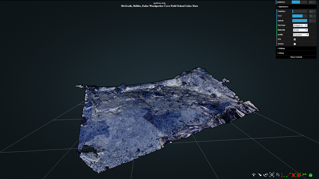
Excavation Pit with RGB Values
Project Description
As described on the Potree website1 The Potree viewer is a WebGL based viewer for large point clouds. The project evolved as a Web based viewer from the Scanopy2 desktop point cloud renderer by TU Wien, Institute of Computer Graphics and Algorithms.3 It is free and open source to enable anyone to view, analyze and publicly share their large datasets online and is currently being continued under the Harvest4D4 project.
The potree viewer has almost as wide a range of uses as 3d data does. The viewer itself requires all used data to be converted to the Octree format and developers on the Github page5 make continuous updates. Linked to this same page is a converter6 which allows any user to convert .las, .laz, binary ply, .xyz, or .ptx files into Octree format. By downloading the converter repository, the .exe converter file can be run in any command prompt when the user identifies the input file and the output directory.
For this project, the Potree viewer is being used to share LiDAR data of the Woodpecker Cave Field School run by Dr. James G. Enloe of the Department of Anthropology at the University of Iowa. Specifically, the bottom of the pit from the end of the 2015 field season is shown, along with the rock shelter which the pit sits outside of. The potree viewer has many tools included in its pre-written code including measurement tools and draw tools. In addition, point densities and sizes can be manipulated and point values and colors can be changed using an included dropdown menu. Point values such as true color RGB can be taken from photographs and applied to the points and background images can be used in the viewer once they have been converted to skybox format using Adobe Photoshop or a similar program.
While this project tries to replicate all of these features for the Woodpecker Cave field site, it also has several goals going beyond what is described in the demo pages on the Potree site. Namely, this project tries to add additional point files showing different groupings of excavated artifacts and color code them as such, allowing the viewer to see different artifact groups by toggling them on and off in the dropdown menu. In addition, a pop-up will be created to introduce the site to new viewers and explain its history briefly. Finally, stacked transparent shapefiles will be added to show the thickness of each season’s excavation and help the viewer to see the placement of artifacts within each field season. Though the Potree viewer does not currently support all of these purposes, this project would like to explore their possibility and feasibility so that more information about the site can be accessible to the public without requiring anyone to purchase expensive software such as ArcGIS.
The eventual goal of this is to publish the viewer on the University of Iowa website so that anyone can access information about the site itself and learn about the field school there. Ideally, even academics studying the site could access the viewer and get rough estimates, measurements, and visualizations if need be. In the end, the documentation of these new applications for the viewer will be published in an easy to understand guide so that Anthropology Departments everywhere will also be able to quickly and easily build a viewer for their own field sites.